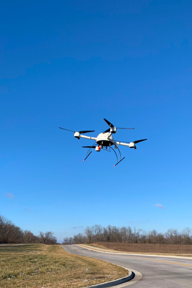
DRONE SURVEYING
Assisting in our Survey Division are trained and licensed Unmanned Aerial Systems (UAS) pilots implementing Drone Surveying & Mapping to deliver a cutting-edge level of detail for design. With the use of Light Detection and Ranging (LiDAR) systems, as well as integrated photogrammetry, topographic surveys come to three-dimensional life on the screen. This provides our entire team with virtually real-time site conditions to better assist with the goals for each client.
Services We Provide: